
Have It Your Way Custom Taps
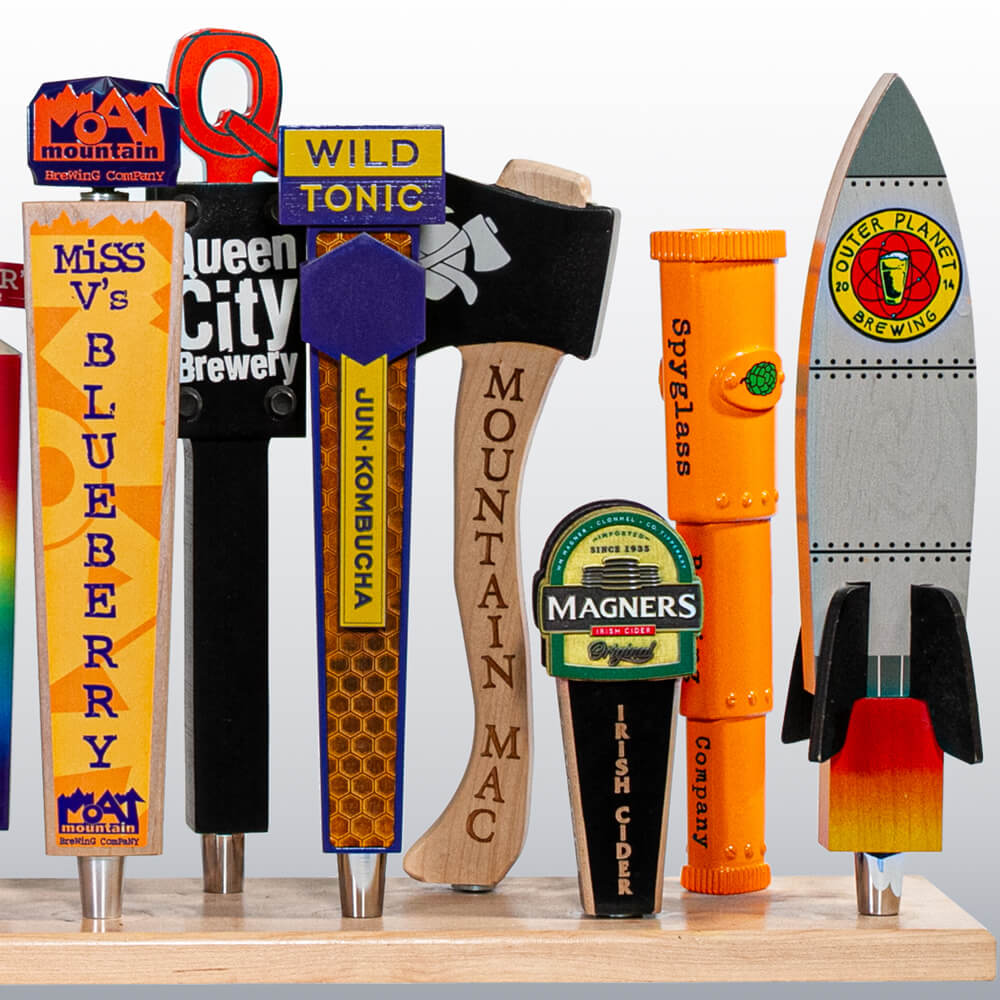
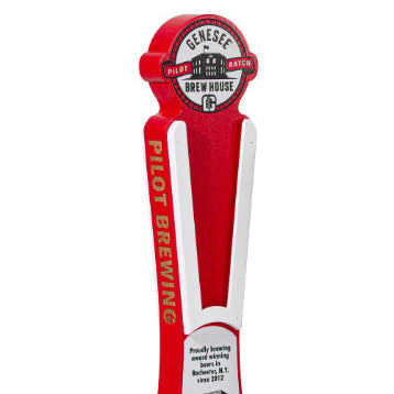
Create custom tap handles for your brand. Filter the gallery below to find the look you want, then start a quote.
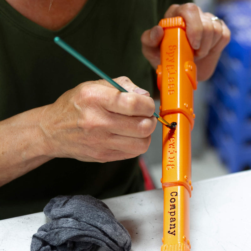
Spyglass Brewing
Grey Sail
Back East
Front Yard Brewing
Trout River Brewing
Ex Novo Brewing
Outer Planet Brewing
Magners Irish Cider
Green Room Brewing
No taps match this filter yet.
Image coming soon
Have it your Way Tap Handles
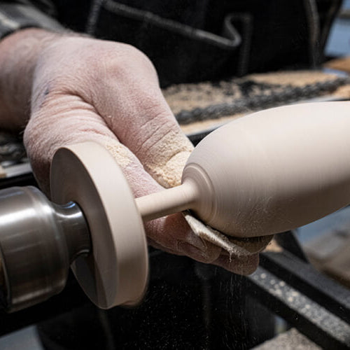
When a classic design doesn't cut it, we manufacture handles to capture your vision. Start with a 3D form, either routed from solid wood or resin cast, to make a handle that stands out among the rest.
Laser-cut scrollwork, stacked layers, and hand painting add depth and character, while metal and other components bring in texture and contrast. For rotating taps, removable flavor inserts let one handle carry multiple beers.
We're a woodshop and graphics house first, and that's where we do our best work. We bring in other materials when needed but try to use wooden whenever possible. Tell us what you're picturing, and we'll help you make the right handle.
After accessing the GIS data, we input it into a computer program that connects with our cnc routers in the woodshop. It is then cut out to those exact specifications. After routing, the maps move to sanding, the laser for engraving, finishing to provide protection and give shine, and then to shipping to get to you.
Yes. We use publicly available GIS data that allows us to create every hill, valley, inlet, and brook exactly how it is in real life.
We make maps of entire countries or individual backyards! In our experience, zooming out from a street address improves the aesthetics of the product, but we can make a map at nearly any zoom level.
We have a rigorous process to determine what is most popular with our customers and that helps create our standard collection. Since we are Vermont-based, many of our Mountain and Ski Resort maps are eastern United States specific. As we continue to grow as a company, we will expand our collection.
We primarily use locally and sustainably sourced rock maple (sugar maple). Our Mountain and Ski Resort maps use a combination of rock maple and hard cherry.
We offer multiple levels of customization depending on your specific needs. You can personalize your item at checkout for items that allow it. These include our Yoyos, whistles, cutting boards, NameTrains and more.
You can find our wood products at hundreds of stores across the country. Please use our dealer locator to find a store close to you, and call ahead to see which of our products they carry.


